Podcast
Questions and Answers
What is the Gobi Desert?
What is the Gobi Desert?
- A high plateau
- A river in China
- One of the world's largest deserts covering part of China and Mongolia (correct)
- A mountain range
What mountain range is located north of the Taklimakan Desert?
What mountain range is located north of the Taklimakan Desert?
Tian Shan Mountains
Where is the Taklimakan Desert located?
Where is the Taklimakan Desert located?
Western China between the Tian Shan and Kunlun Mountains
Where are the Kunlun Shan Mountains located?
Where are the Kunlun Shan Mountains located?
What is the Plateau of Tibet?
What is the Plateau of Tibet?
What separates India from China?
What separates India from China?
What is the Huang He River also known as?
What is the Huang He River also known as?
What is the longest river in China?
What is the longest river in China?
What is the Xi River also known as?
What is the Xi River also known as?
What do the Qinling Shandi Mountains divide?
What do the Qinling Shandi Mountains divide?
What body of water separates the Korean Peninsula and China?
What body of water separates the Korean Peninsula and China?
What is located south of Japan and east of China?
What is located south of Japan and east of China?
Where is the South China Sea located?
Where is the South China Sea located?
Flashcards are hidden until you start studying
Study Notes
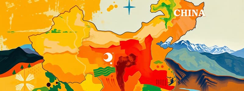
Geographic Features of China
- The Gobi Desert is one of the world's largest deserts, spanning parts of China and Mongolia.
- Tian Shan Mountains are situated north of the Taklimakan Desert, forming a significant mountain range in the region.
- The Taklimakan Desert lies in western China, bordered by the Tian Shan and Kunlun Mountains.
- Kunlun Shan Mountains are located north of the Plateau of Tibet, making it another critical mountain range.
- The Plateau of Tibet is a prominent high plateau in western China, known for its elevation and unique geography.
- The Himalayas form the natural boundary between India and China, recognized as the tallest mountain range globally.
Major Rivers and Water Bodies
- The Huang He River, also known as the "Yellow River," is often referred to as the "river of sorrows" due to its frequent flooding. It flows in the northeast and is one of China's longest rivers.
- The Chang Jiang River, or Yangzi River, holds the title of the longest river in China, essential for transportation and agriculture.
- The Xi River, called "West River," is located in South China and flows eastward towards the South China Sea.
Mountain Divisions and Seas
- The Qinling Shandi Mountains run through southeastern and east-central China, acting as a geographical divide between northern and southern regions of the country.
- The Yellow Sea lies between the Korean Peninsula and China, with the Huang He River discharging into it.
- The East China Sea is positioned south of Japan and east of China, playing a vital role in maritime trade.
- The South China Sea is found south of the Yangtze River and west of the Pacific Ocean, known for its strategic importance and biodiversity.
Studying That Suits You
Use AI to generate personalized quizzes and flashcards to suit your learning preferences.


